Drone Reveals Water Levels Lake Ray Roberts Texas

lakerayrobertstexaswatersheddfw

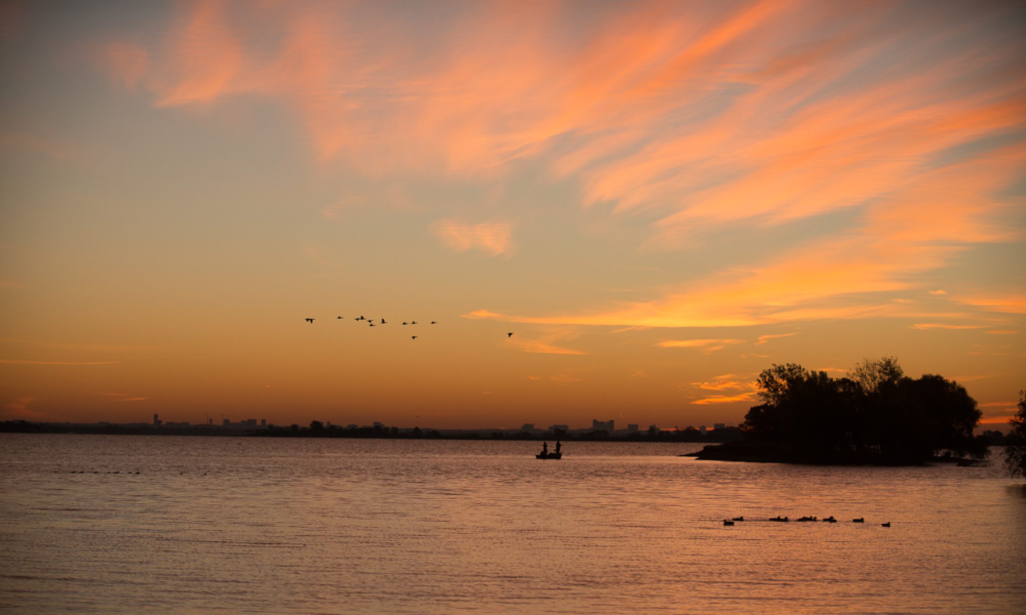
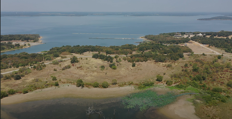
I thought this would be a prime example of the power of the drone angle, to show environmental situations of concern – to Denton, Denton County and Dallas Fort Worth. Water conservation is not on many citizen’s radars – yet.

The lake is actually doing surprisingly well considering the Summer that is about to end NOW. I will be looking for more environmental imagery from the drone after seeing what the possibilities are!

Be sure to contact me about your ground-bound photography and videography needs if you are within range of Denton-Dallas-Fort Worth-North Texas-Texas, etc… You get the idea. I can be there.

UNIDEN Bearcat SDS100 Police Fire Emergency

photography youtube channel

Scanner Unboxing

I purchased this scanner from zipscanners.com and had it preprogrammed for Denton County. Things have changed a lot since my first portable police scanner purchase way back in 1989. But if you’re a photojournalist, you’ll be very interested in having one of these in your bag!

THE YOUTUBE CHANNEL NAME CHANGE

I have changed my YouTube Photography Channel name to f8 Photography, and I hope you will visit and subscribe to that Channel today!